
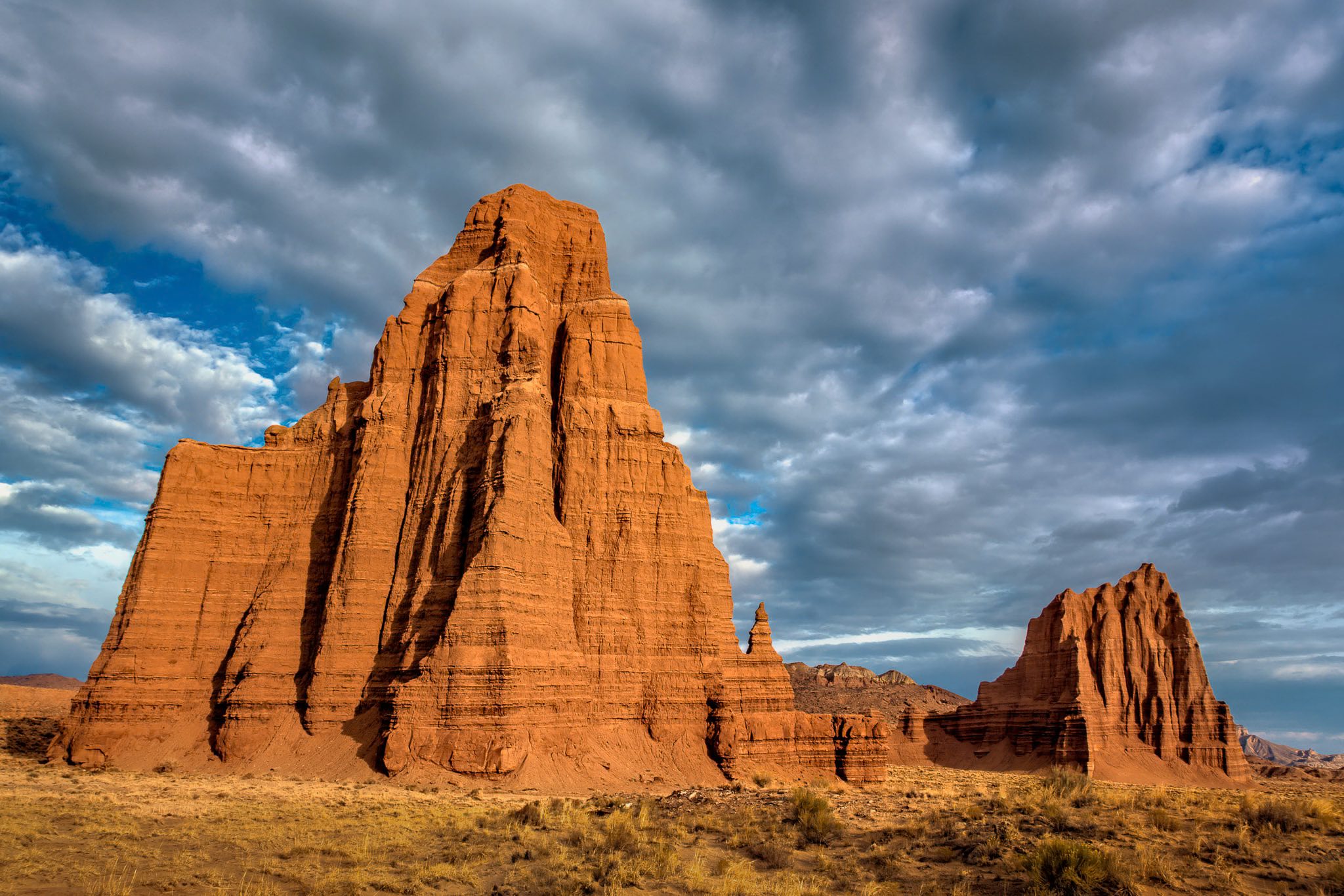
Down Cottonwood Canyon Road
The trip started where my western photography started in 2009: Cottonwood Canyon Road, the 46-mile dirt track through Grand Staircase-Escalante National Monument between Highway 89 and Cannonville. The road follows the Cockscomb, a long uplifted ridge of tilted rock, and crosses the Paria River near its southern end. On a dry day the FJ handles it easily. After rain the clay turns to grease and nobody goes anywhere.
Grosvenor Arch sits near the north end: a pale double arch of Henrieville Sandstone standing over juniper and sage, named for Gilbert Grosvenor of the National Geographic Society. I first photographed it in 2009. Coming back eleven years later with better gear and more patience, I wanted the arch against a deep September sky, and that is what the afternoon gave me.
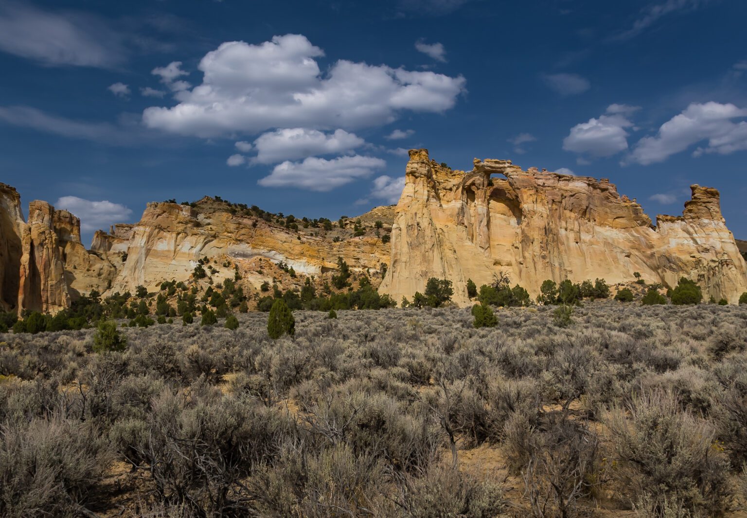
Grosvenor Arch, Cottonwood Canyon Road. Click the photo for the full view and camera settings.
Into Cathedral Valley
Cathedral Valley is the north district of Capitol Reef National Park, and most of the park's visitors never see it. Getting there means a 58-mile loop of dirt roads, Hartnet Road, Cathedral Road and Caineville Wash Road, with a ford of the Fremont River at the Hartnet end. There are no services, no water and very little traffic. I came in the long way: across the Fremont River ford, out Hartnet Road and onto Cathedral Road, which drops into the valley from the north.
The valley takes its name from the monoliths: free-standing towers of red Entrada Sandstone rising out of a floor of gray bentonite hills. Morning light on the 21st came in low across the valley floor at Jailhouse Rock and Needle Mountain and lit the towers from the side, which is exactly what they need.
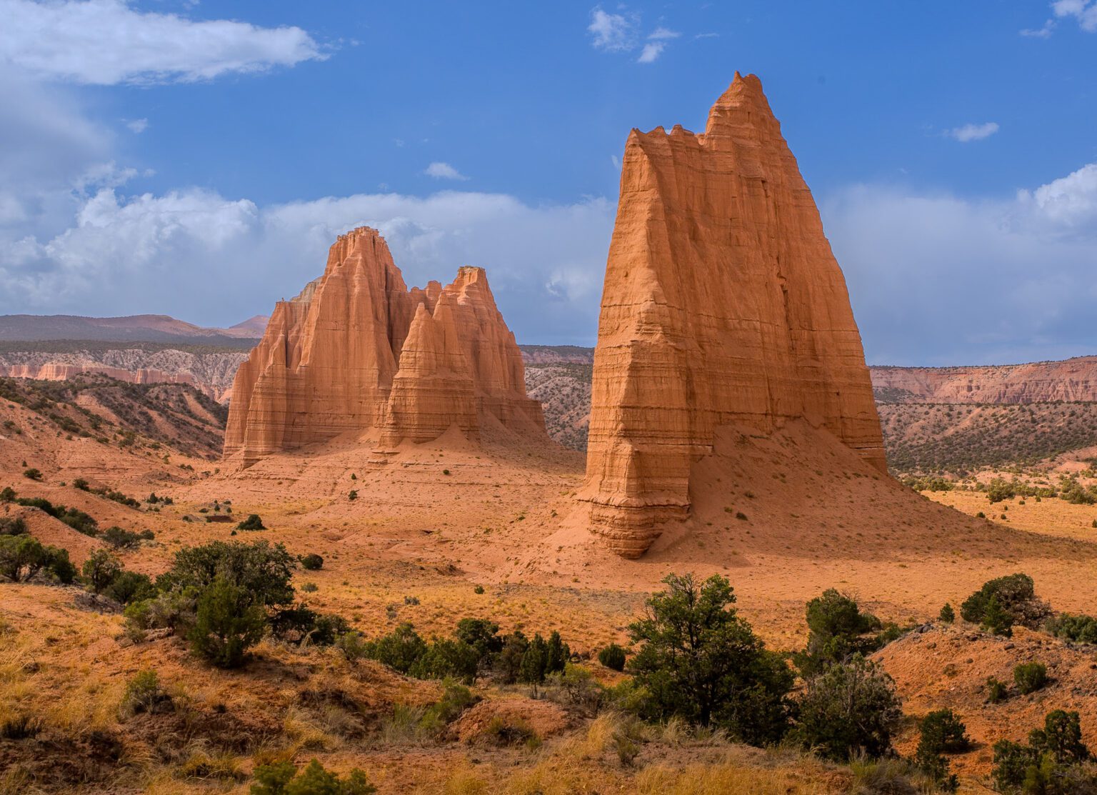
Needle Mountain, Cathedral Valley. Click the photo for the full view and camera settings.
I camped near the Temples of the Sun and Moon, so first light the next morning was a short walk away. The two monoliths rise several hundred feet off the valley floor, a short drive from Glass Mountain, a mound of selenite crystal. With no crowds and no pavement in sight, you can stand where the photograph was made and have the place entirely to yourself.
What Makes It Different
- Scale and silence. The monoliths look like ruined cathedrals because there is nothing around them for miles to give a sense of size.
- Colors that change by the hour. The bentonite hills shift from gray to lavender to gold as the sun moves. HDR captures that range without exaggerating it.
- Geology in the open. Hard sandstone over softer layers erodes into towers, fins and badlands within a few miles of each other.
- It rewards preparation. Check road conditions with the Capitol Reef visitor center, carry extra water and fuel, and skip the Hartnet ford if the river is up.
Closing Day
From the Temples I finished the loop and left the valley on Caineville Wash Road, out to Highway 24 near Caineville. I closed the trip at Grand View Point in the Island in the Sky district of Canyonlands, looking down more than a thousand feet to the White Rim and the canyons of the Green and Colorado Rivers beyond.